Crossroads & Connections: A Cartographic Renaissance
By The National Library of Israel
Published Apr 26, 2023

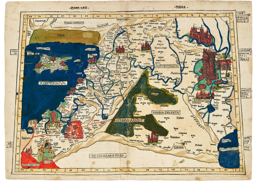
Johann Reger, Asia Quarta Map, Germany, 1486

>>> Expand this image. <<<
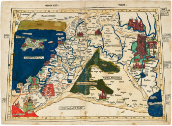
This distinctive map of Asia Quarta (Quarta Asie tabula) depicts the area between Armenia in the north, Arabia in the south, Cyprus in the west, and Persia in the east. The map is unique in its containing several hand-painted additions portraying important biblical scenes: the collapsing tower of Babylon, Moses receiving the Ten Commandments on Mount Sinai, Samson bringing down the pillars of the temple of Dagon, and the burning of Sodom and Gomorrah by the Dead Sea. It comes from the 1486 Latin edition of Geography, first translated to Latin from Ptolemy’s original Greek by Manuel Chrysoloras in 1397.
In his large treatise, Ptolemy, a famed geographer in second-century Alexandria, explained mathematical map projection methods and included detailed lists of place names and their locations, most likely accompanied by maps. The exceptional additions in this 1486 edition represent the inclinations of the painter, who dressed the classical Greek map in the Christian garb of the Holy Land, in a style typical of the fifteenth century, when the scientific approach often gave way to tradition. It would take much longer for the old traditions to be replaced by the scientific geographical methods that culminated in modern projections and measured maps.
Johann Reger, Asia Quarta Map, Ulm, Germany, 1486.
The Eran Laor Cartographic Collection. Laor 604.
Photography by Ardon Bar-Hama.
Founded in Jerusalem in 1892, the National Library of Israel (NLI) serves as Israel's preeminent research library
Reflections
Click here to visit the exhibition resource page to learn more and to browse accompanying lesson plans, webinars, and videos, about the treasures in this exhibition.
Want more?
Get curated JewishArts.org content in your inbox


